Location
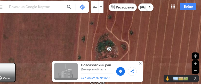
Donetsk region, Novoazovskyi district, two kilometers northwest of the village of Bezimenne
Kind of cultural heritage
information is being clarifiedInvolved
Representatives of illegal armed formations, the so-called Donetsk People’s Republic (DPR)
Map
History
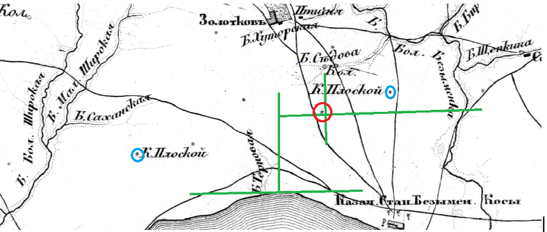
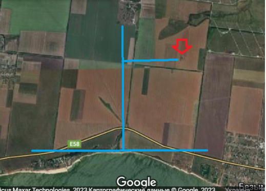
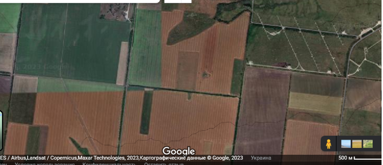
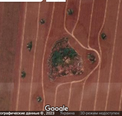
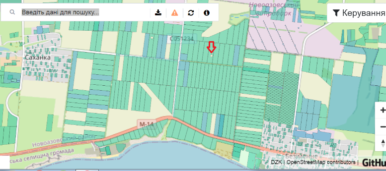
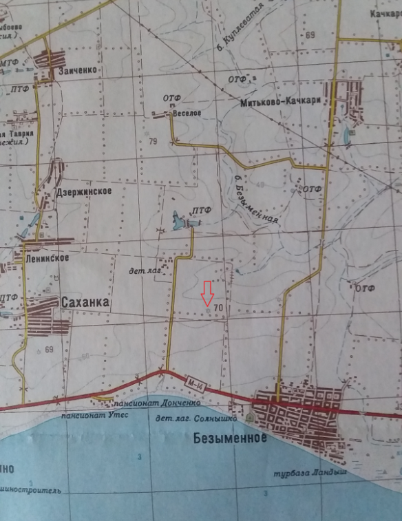
The barrow is located two kilometers northwest of the village of Bezimenne, Novoazovskyi district, next to a wind power station. The diameter of the barrow is 60 meters. Its earthen tumulus affords a clear view of the road Rostov – Mariupol, which led to the creation of defensive structures on it. The first information about the barrow was recorded on maps of the 19th century (picture No. 1). Although located between two other barrows of the same name, the barrow does not have its own designation, which is a unique case. In the 1990s, the Regional Department of Cultural Heritage Protection certified this site and withdrew it from land use, as confirmed by the data of the public cadastral map (picture No. 6).
Violation description
The barrow was damaged by trenches and firing positions; according to the photographs (picture No. 4), no equipment was used during their creation. However, as practice proves, even at an insignificant depth of 0.5–1 meter, archaeological complexes and individual archaeological items can be found in the tumuli of the barrows (see 1, 2). Fortifications were created in several stages, starting from the summer of 2014 after the battles near Ilovaisk. The said fortifications were created by representatives of illegal armed formations, the so-called Donetsk People’s Republic (DPR).
Gallery
Article source and links
- Archaeological almanac, No. 30, Donetsk, Donbass, 2013.
- Tsymidanov, V.V. (2018). Barrows of Donetsk region. Kramatorsk, Donetsk Regional Museum of Local History