General information
Location
Kind of cultural heritage
ArchaeologicalObject type
СonstructionsViolation type
information is clarifiedResearch zone
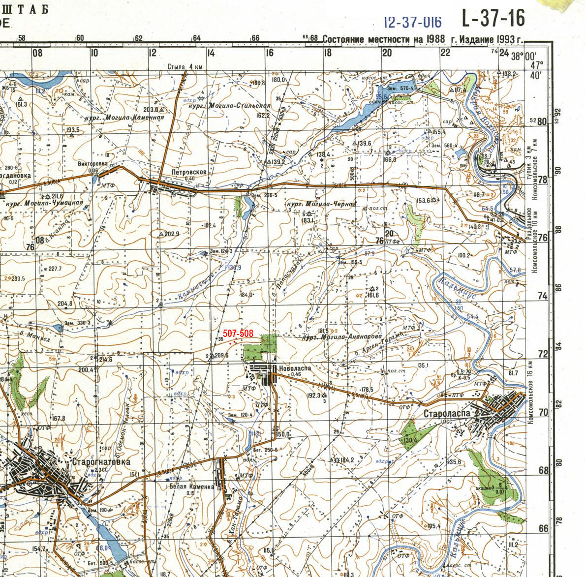
Donetsk regionMap
Object history and violation description
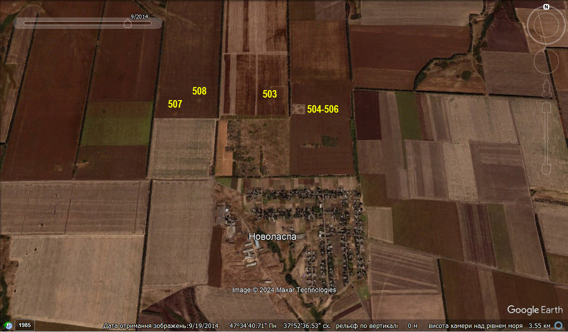
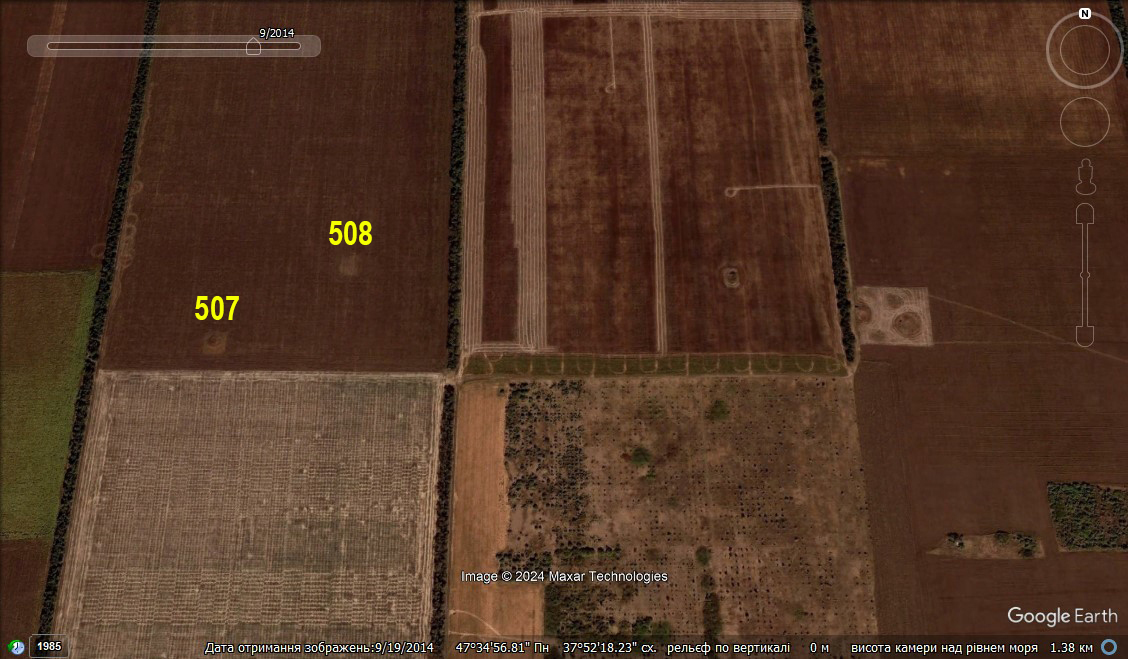
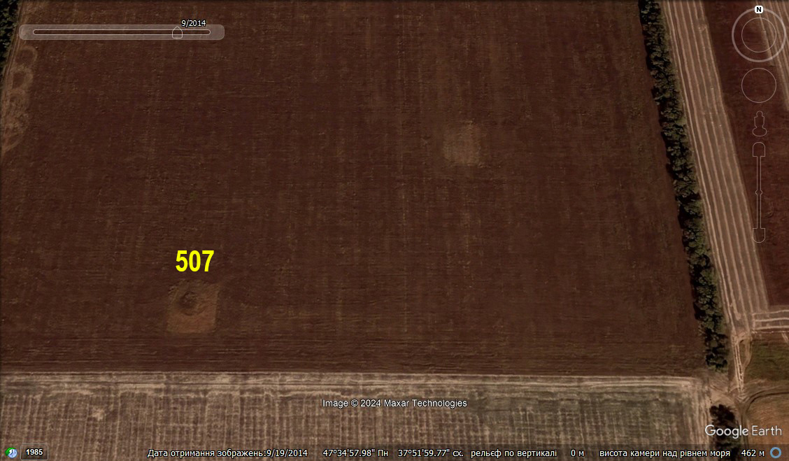
Barrow No. 507 (index according to the regional electronic database) was a part of the barrow group No. 507–508, located on the eastern edge of the watershed ridge formed by the Komyshuvakha river (right tributary of the Mokra Volnovakha river) from the north, the upper reaches of the left tributary of the Dubivka river (right tributary of the Kalmius river), the Odemon-Chelhak gully, as well as the right tributary of the Kalmius river, the Khan-Tarama gully, from the south (Figure 1). The necropolis is located on an agricultural field 0.65–0.7 km north-northwest of Novolaspa village of Boikivske community, Kalmius district, Donetsk region (Figure 2; 2a). Previously, the barrows were plowed. Later on, small square-shaped protection zones were created around the mounds with an area of 35 x 35 meters (Figure 3).
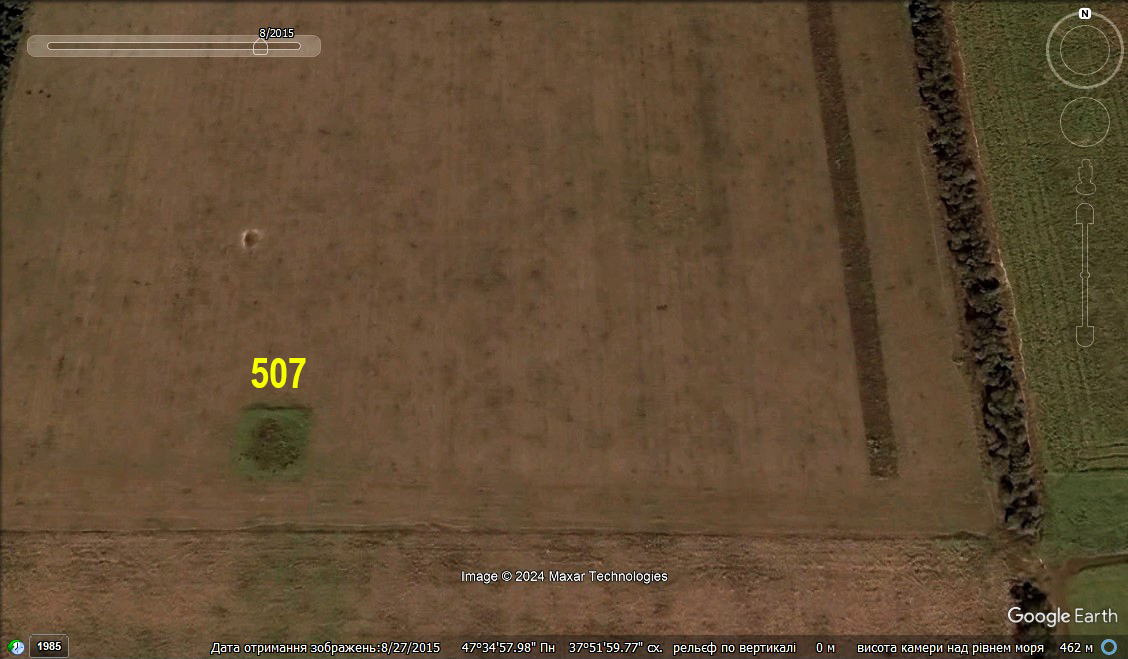
The Google Maps image dated August 27, 2015 (Figure 4) shows the first mortar and artillery shelling of the necropolis area: an explosion crater has been detected at a distance of 96 meters north of barrow no. 507.
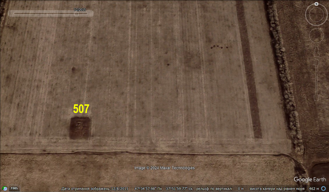
The Google Maps image dated December 8, 2015 (Figure 5) shows the second mortar and artillery shelling of the necropolis area; however, its traces are outside the protection zone of barrow no. 507.
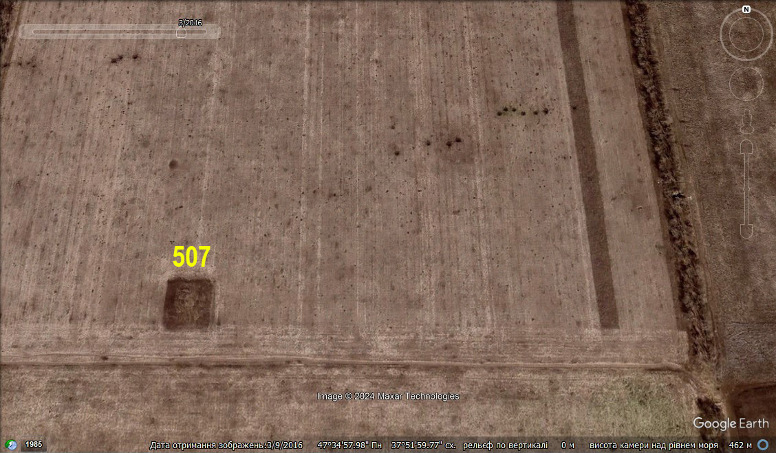
The Google Maps image dated March 9, 2016 (Figure 6) shows the third mortar and artillery shelling of the necropolis area, but its traces are outside the protection zone of barrow no. 507.
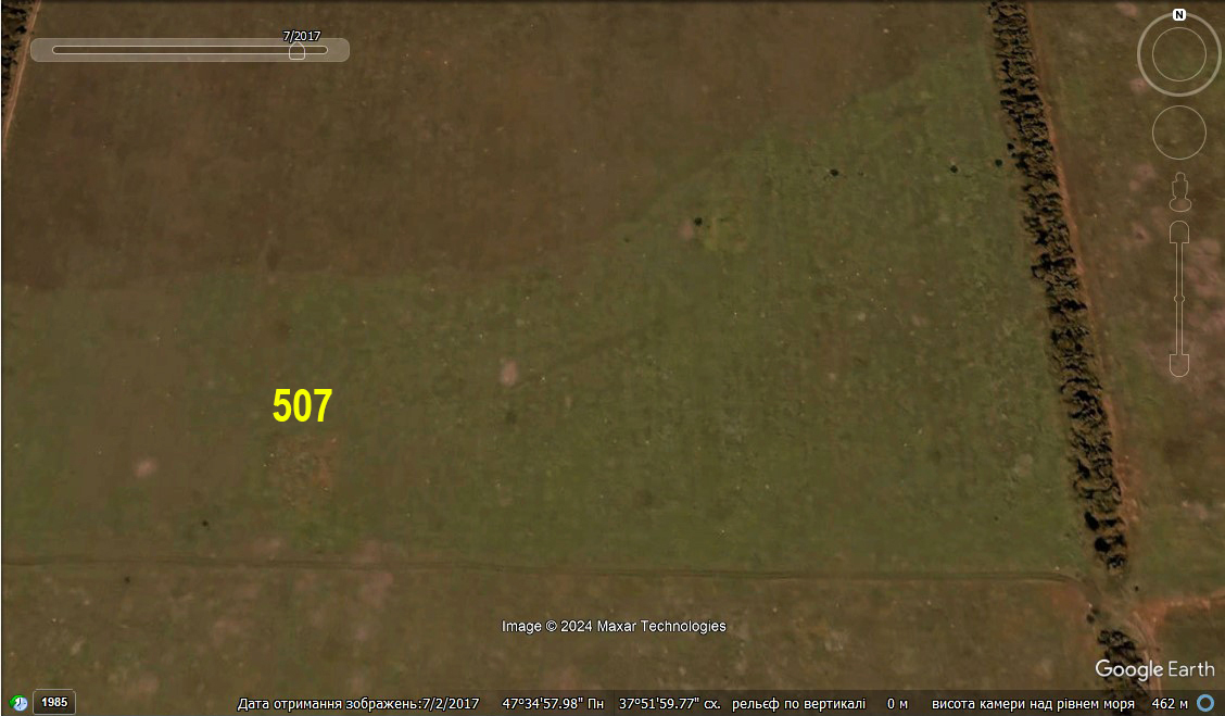
The Google Maps image dated July 2, 2017 (Figure 7) shows the fourth mortar and artillery shelling of the necropolis area, but its traces are outside the protection zone of barrow no. 507.
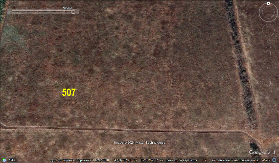
The barrow remained in this condition at least until the fall of 2020 (Figure 8).
Gallery
Additional files
information is clarified
Involved persons
- - Mortar and artillery shelling was carried out by pro-Russian illegal armed groups.
Video gallery
information is clarified
Sources
information is clarified