General information
Location
District - Huliaipole district
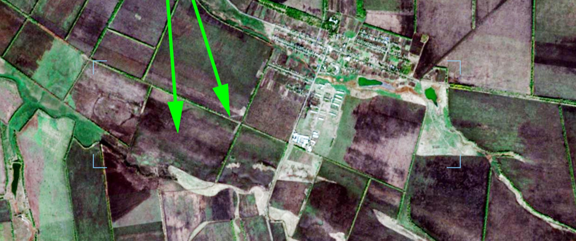
City - 1.0 km to the southwest from the southwestern outskirts of Novozlatopil village
Zaporizhzhia region
Kind of cultural heritage
ArchaeologicalObject type
СonstructionsViolation type
information is clarifiedResearch zone
Zaporizhzhia regionMap
Object history and violation description
The territory of the steppe boasts a huge number of mound necropolises (Table 1). The terms “barrow” or “grave” mean a round or long mound of earth erected over one or more burials. The first barrows emerged in the steppe zone of the Northern Black Sea region in the 4th millennium BC and existed until the 1st half of the 2nd millennium AD. The long-term use of such embankments as necropolises gave rise to barrow groups. The barrows contain layers of several historical eras. Burials carried out at different depths are divided into main and inlet burials. Each time, the barrow was filled in, stone stelae and wooden pillars were installed on its top. The barrow was repeatedly used during trizna – rites related to honoring the souls of buried ancestors.
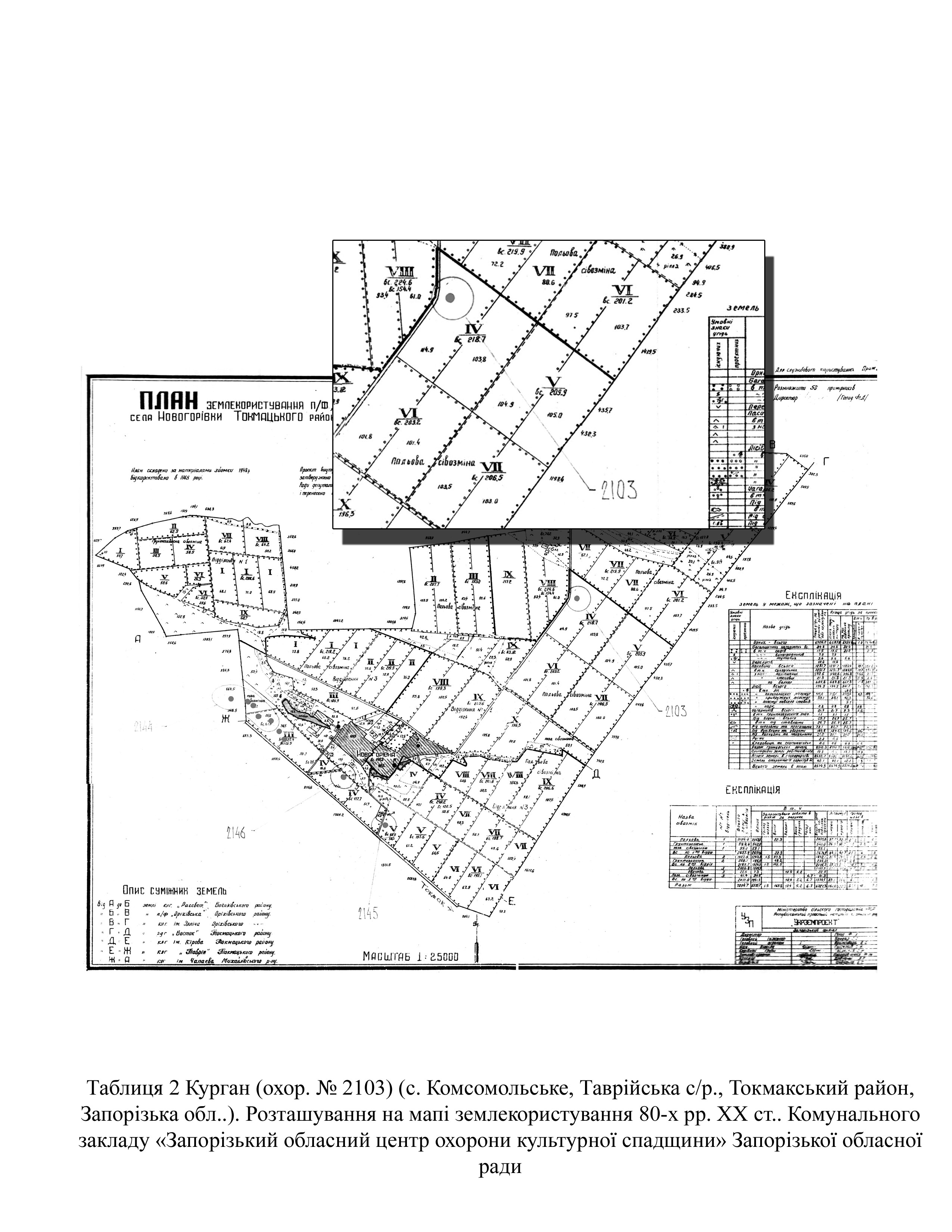
Archaeological research in the territory of Zaporizhzhia region was carried out in the 1970s and 1980s during the heyday of excavations associated with the growing construction of land amelioration structures (Toshchev, Yelnikov, Drovosekova, Drevnosti Zaporozhskogo kraya, 2003. 49-55). The same period marked the beginning of the inventory of cultural heritage sites.
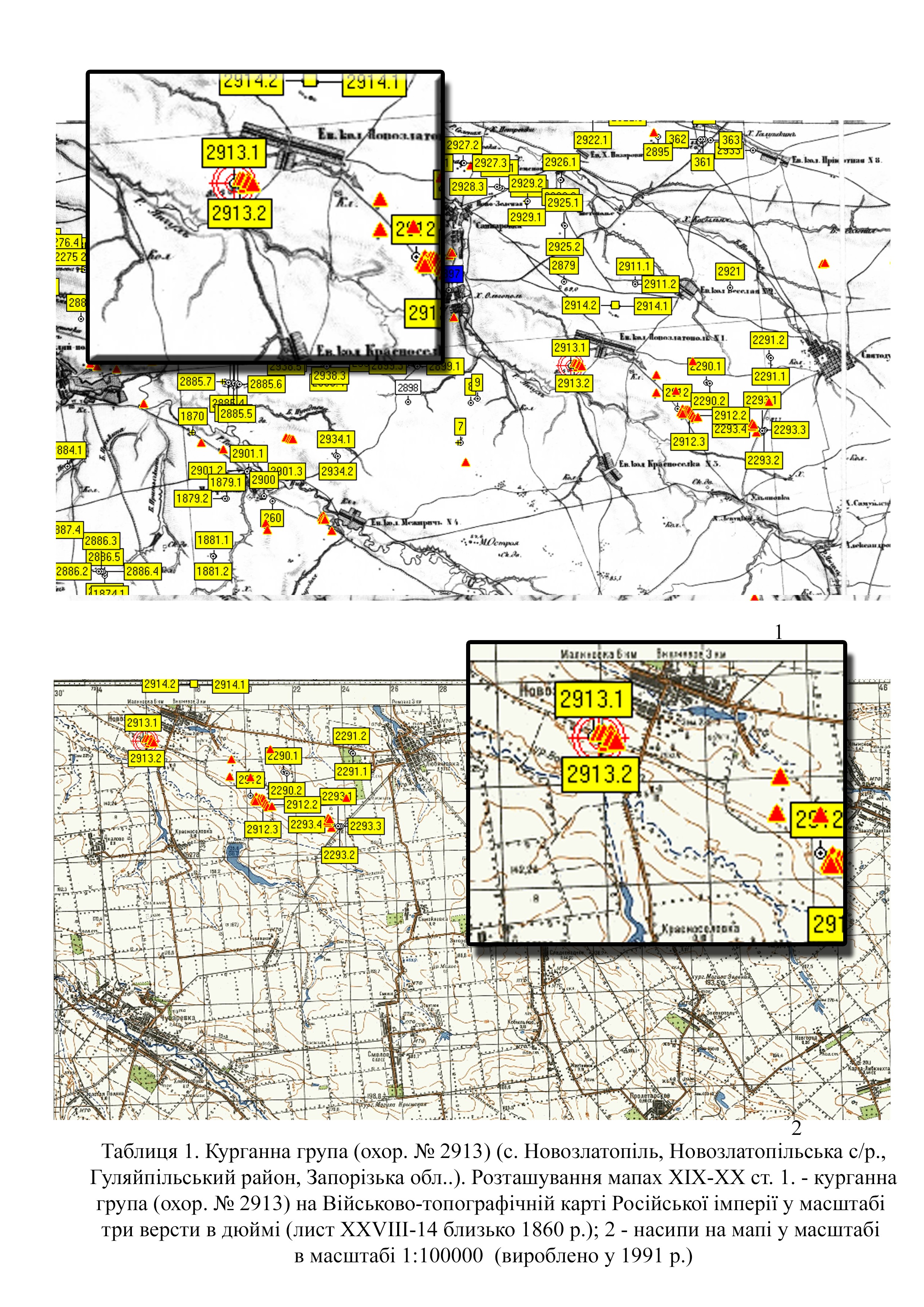
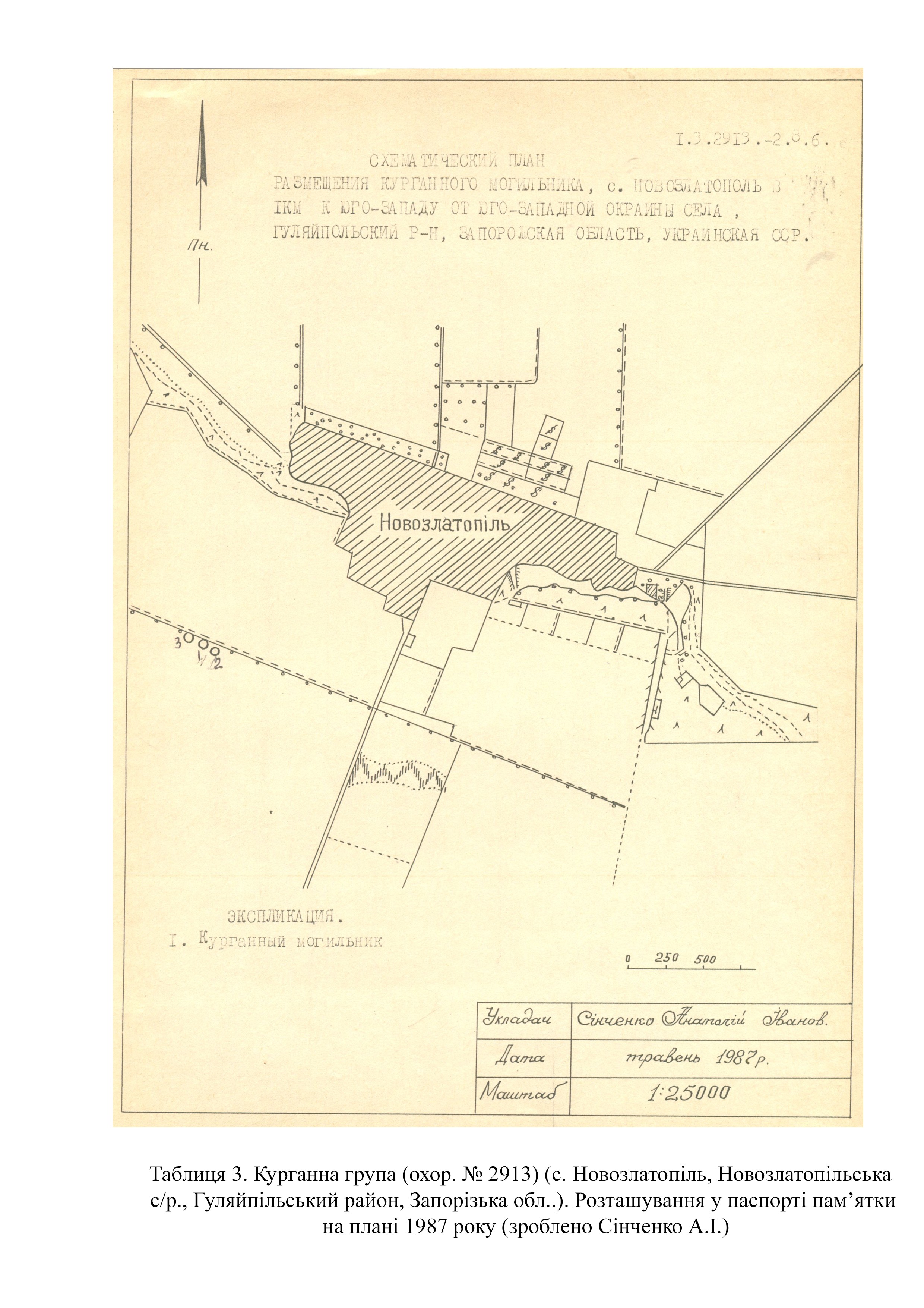
The barrow group (protection No. 2913) was first examined by A. Redkov, a research fellow of the Zaporizhzhia Regional Museum of Local Lore, in 1986 (Tables 2, 3).
In 1988, the executive committee of the Zaporizhzhia Regional Council of People's Deputies made a decision to include barrow group No. 2913 in the list of archaeological sites of local importance and approved its protection zone (No. 202 of June 28, 1988).
The barrow group meets the criteria of authenticity and is also associated with historical events, beliefs and the development of culture in this area.
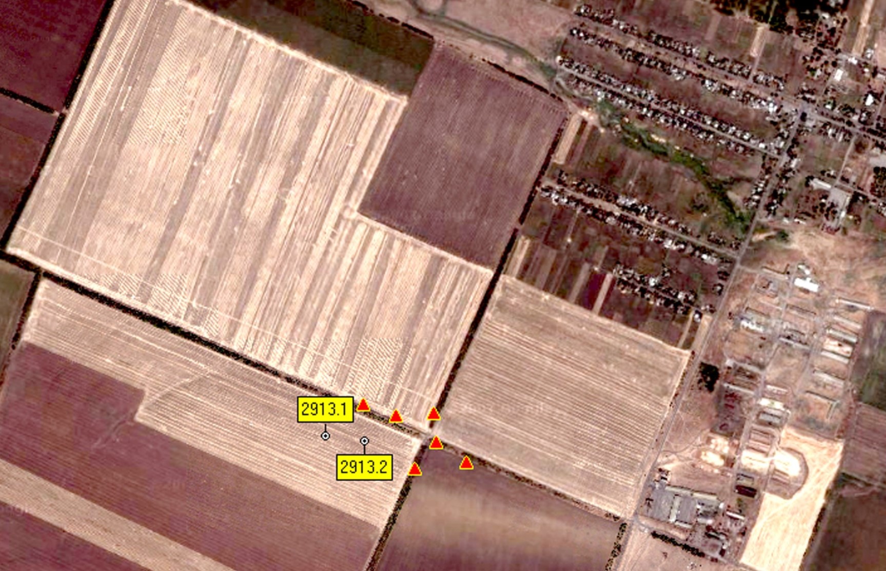
According to the certificate, the site consists of three barrows with mounds of different shapes. The group is situated on several land plots along the Yanchul river (Tables 1–3). Mound parameters are as follows:
Barrow No. 1: height – 1.22 meters; diameter – 58 meters;
Barrow No. 2: height – 0.57 meters; diameter – 39 meters;
Barrow No. 3: height – 0.3 meters; diameter – 21 meters.
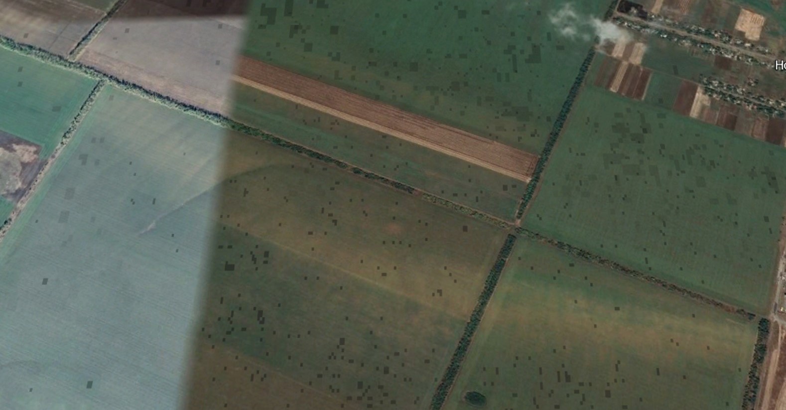
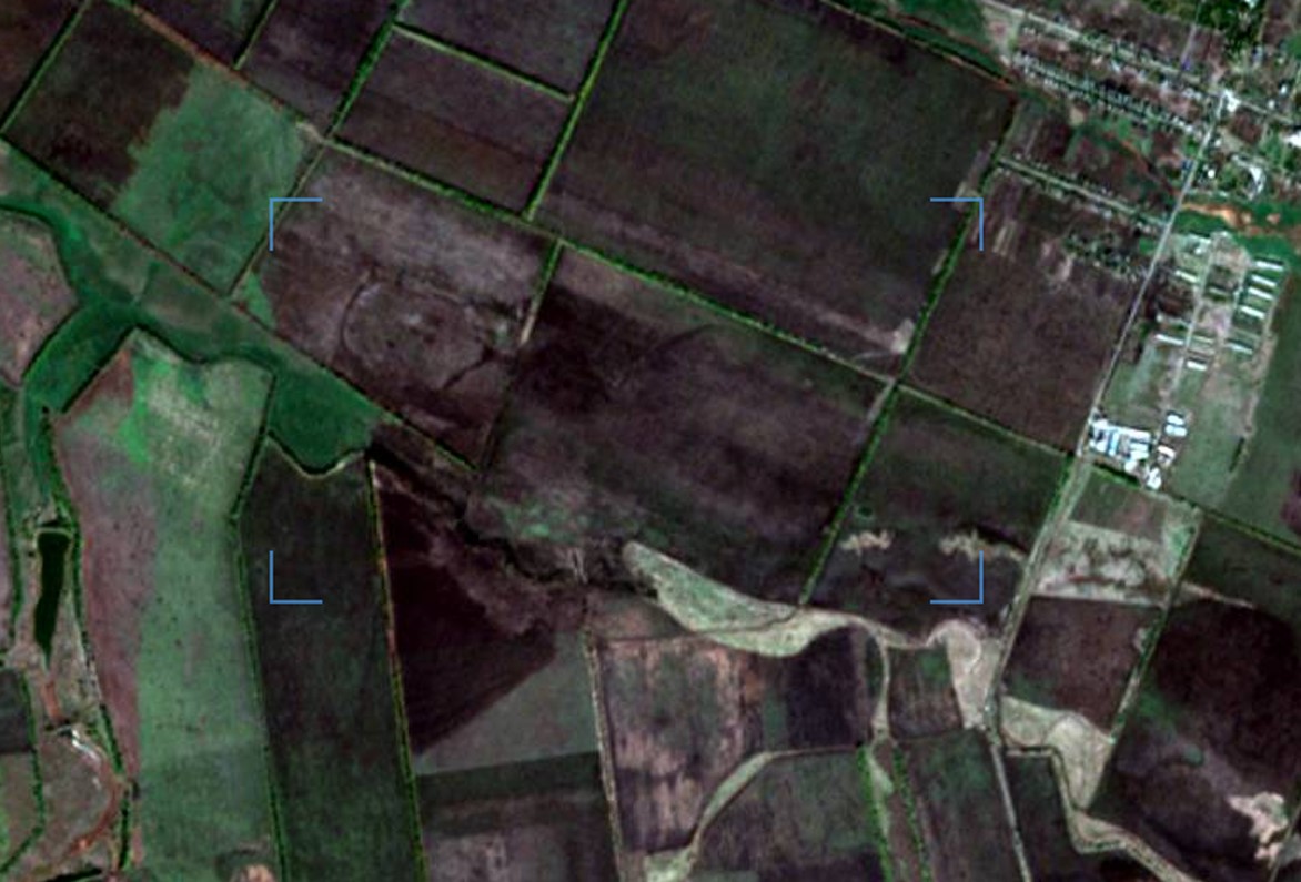
In the space images dated August 7, 2020 from the Google Earth Pro server (https://google-earth-pro), it is clearly visible that the mounds did not have any significant damage (Table 4).
According to the map of the war chronology, during the southern offensive in February 2022, the southern part of Polohy district of Zaporizhzhia region was occupied by Russian troops (Chronology of the war by the Current Time agency https://www.currenttime.tv/a/32202314.html; Deep State map https://deepstatemap.live).
In accordance with the map of the war chronology, the Polohy offensive was carried out by the Akhmat special forces unit that occupied the cities of Melitopol and Vasylivka (https://deepstatemap.live).
During 2022 and 2023, the following units were stationed here: the 114th Motorized Rifle Regiment, the 1430th Motorized Rifle Battalion, the 291st Guards Motorized Rifle Regiment, the 136th Motorized Rifle Brigade, the 177th Separate Marine Regiment (military unit 87852) and the 121st Mobilization Reserve Regiment of the so-called DPR.
Thanks to high-quality images, it has been established that part of the hemline of barrow No. 2913.1 was destroyed by the arrangement of trenches in this area (Table 5) (a space image of the Sentinel-2 L2A satellite from the server https://eos.com as of October 18, 2023).
Gallery
Additional files
Involved persons
- - The occupation administration of the city of Tokmak (Polohy district, Zaporizhzhia region)
- - The military occupiers authorized the construction of fortifications
Video gallery
information is clarified